
Dr. Paddy Prendergast
FSCSI FRICS
Demand for geospatial surveyors and data and land management skills continues to outstrip the supply of graduates across the construction and property sectors in Ireland and internationally.
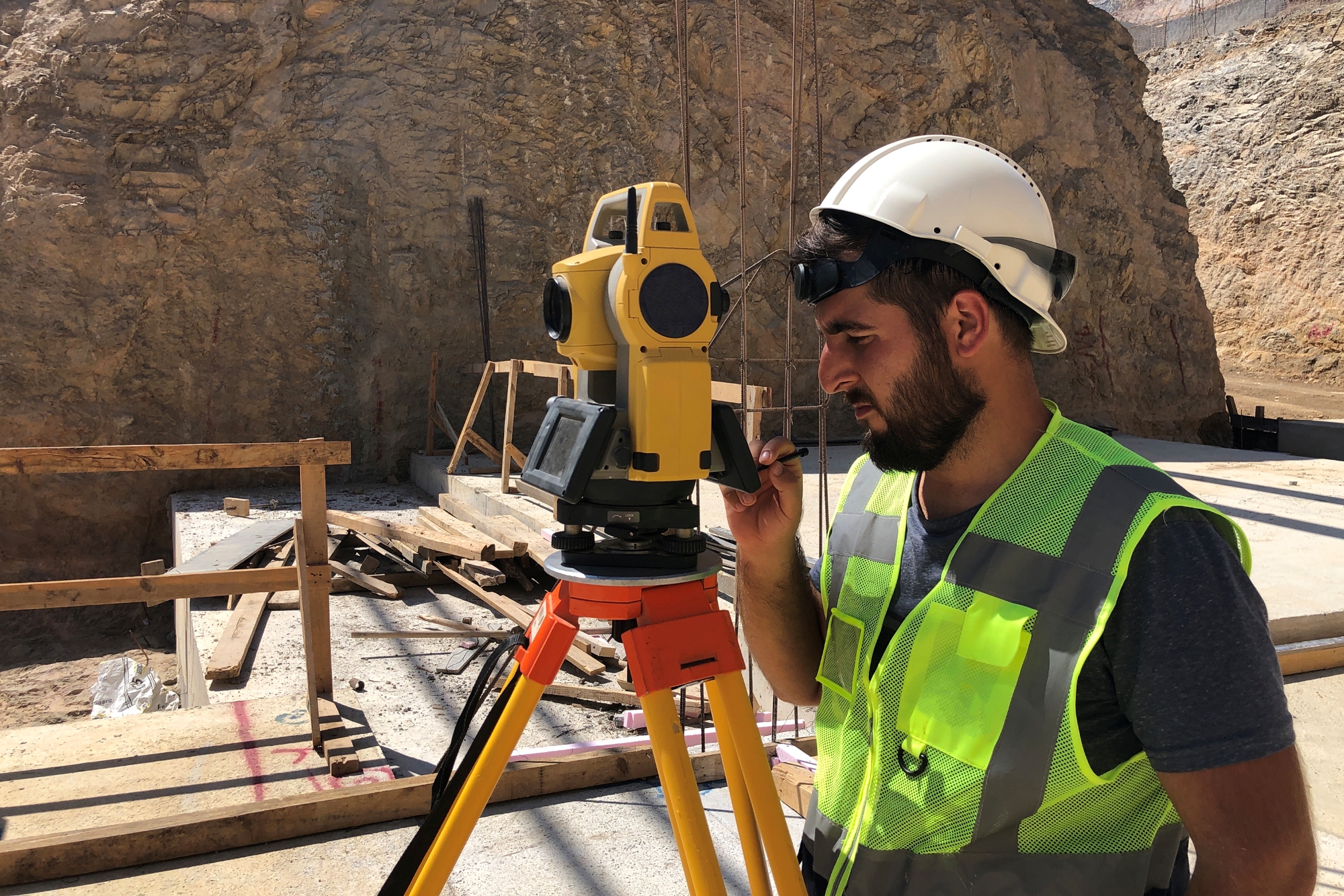
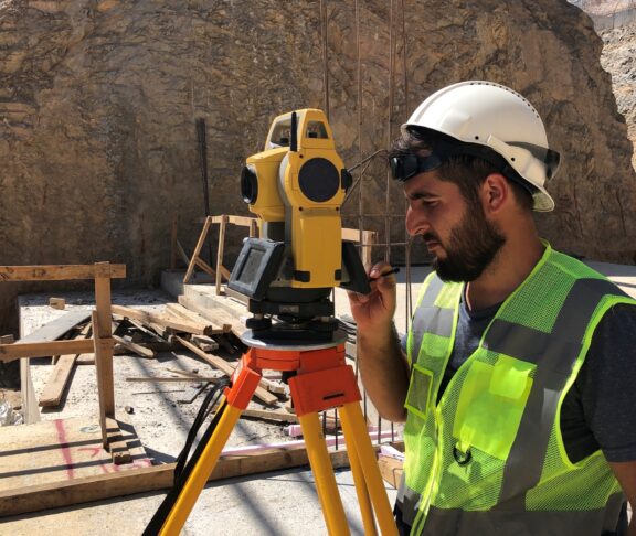
Geospatial surveying is central to modern surveying practice.
A digital profession
From mapping infrastructure to analysing environmental change, professionals rely on high-quality data to inform reliable evidence-based decision-making. As digitalisation accelerates across the sector, there is a clear need for graduates who can combine technical capability with practical application.
Meeting industry demand
Ireland’s built environment sector is increasingly data-driven. Employers are seeking individuals who can manage, interpret and communicate geospatial information accurately and effectively. This includes working with technologies such as drones, geographic information systems, remote sensing, BIM (building information modelling) and data analytics. Developing these capabilities ensures that professionals remain relevant in a rapidly evolving market.
Investing in education and skills development is essential to ensure the profession can meet future challenges and opportunities
Building future skills
Programmes such as the MSc in Geospatial Engineering and Data Management at TU Dublin are designed to respond to this demand, equipping existing graduates of related disciplines with both theoretical knowledge and applied skills. Flexible, industry-aligned education pathways play a vital role in supporting career progression within the sector and attracting new entrants to the profession.
A growing discipline
As Chair of the SCSI Geospatial Professional Group, I see firsthand the increasing importance of this discipline. Investing in education and skills development is essential to ensure the profession can meet future challenges and opportunities, with fantastic opportunities for graduates, as these skills are in very high demand both at home and abroad.